
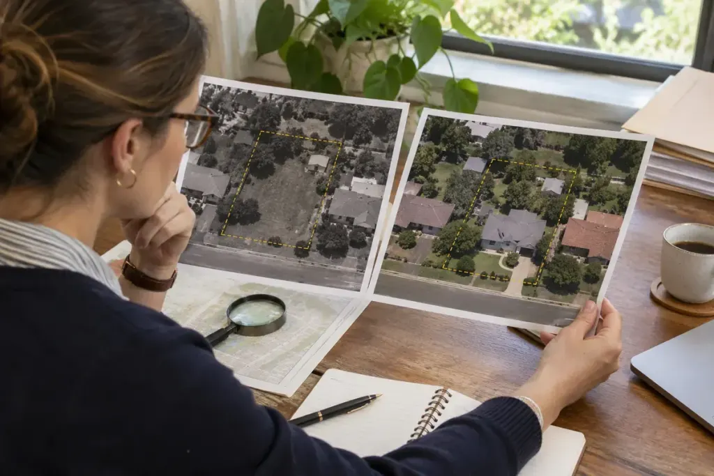
A shed appears in one aerial image and disappears in the next. That is a useful question to take to a property viewing. It is not, by itself, an explanation of why the shed went, who owned it or whether its replacement was approved.
Historical imagery can help a buyer notice changes that a present-day walkthrough cannot show. In the United States, the USGS guide to aerial datasets in EarthExplorer explains that the suitable collection depends on location, period and image scale. Availability and detail vary; an attractive thumbnail may not resolve the feature you want to examine.
Compare features, then write questions
Start with stable reference points such as road junctions. Confirm that you are looking at the same plot rather than a similar roof nearby. Keep the image date, source and identifier with your notes, and distinguish the image capture date from the date on which you downloaded it.
For a hypothetical viewing, an earlier photograph might show a paved strip where the current garden stands. A useful question is, “What was this area previously used for, and are there records of the change?” A much weaker conclusion is, “The photograph proves there used to be a driveway with legal access.” The image cannot settle that legal claim.
- Mark visible additions or removals as observations.
- Record uncertainty where trees, shadows or low resolution obscure the view.
- Ask for documents relevant to the change, rather than accepting a guessed explanation.
- Keep boundary, access and permission questions for the appropriate professional and official records.
Seasonal differences matter too. A leafless tree can expose a roof that was present but hidden in a summer image. Different viewing angles can also change how close two structures appear. Avoid treating every visual difference as a construction event.
Bring a short selection to the viewing, not an unexplained stack of prints. Each image should support a specific question that can be answered or investigated. Used this way, the archive helps focus a conversation; it does not replace a survey, title review or local planning search.